Best Available Map & Compass Training
"…Good Progression of Exercises also the Classroom Session was very good Background Theory" — NFS Participant


"…a Well Run Course that was Informative & Presented in a Very Personable Way. Thank You" — NFS Participant
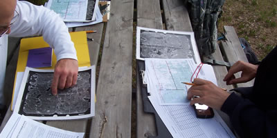
Interested in Getting off Marked Trails and into the Real Backcountry? The Navigation Field Session (NFS) is the 2nd Course needed to earn our Navigation Certificate. This well designed Wilderness Navigation Course is an Opportunity to Improve and Practice a variety of Wilderness Navigational Techniques including; Compass Use, Air Photo Interpretation, Reading of 1:50,000 and 1:250,000 Scale Topographical Maps.
"Very experienced Instructors and lots of bush work." — NFS Participant
Extensive Map & Compass Skills Practiced
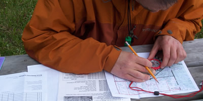
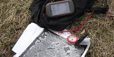
We Practice Contour Interpretation, Route Planning and spend the time to build up your Skills using MGRS and UTM Grid System. Extensive Map & Compass Skills will be practiced. Course Emphasis will be on Wilderness Route Finding & Safe Wilderness Travel. This course fully integrates the use of a GPS Receivers in the Field with Map and Compass.
"I Enjoyed all of the Outdoor Activities. Especially the day at the Blackfoot." — NFS Participant


Navigation Field Session Topics
"Excellent as it is. Will be taking the Wilderness Navigation Mountain Session." — NFS Participant
NFS Topics include; Map and Compass Use, Topographical Map Interpretation, Micro Feature Interpretation, Contour and Slope, Air Photo Use & Interpretation, Wilderness Navigation, Wilderness Route Finding, Route Cards, and Route Planning. We also cover Compass Field Use, Declinations, Inclination, Plotting Bearings, Back-bearings, Pacing, and Position Finding. A Course Manual is provided.
"I Enjoyed All Aspects of the Course. Learned a lot." — NFS Participant

